Tinh Lang Son Holiday Weather today
Date/time of update: April 1, 2025, 1:09 am, Timezone: GMT+7
Overcast Clouds
Temperature: 14.01°C
Temperature feels like: 12.93°C
Minimum Temperature: 14.01°C
Maximum Temperature: 14.01°C
Atmospheric pressure: 1021hPa
Humidity:56%
Visibility: 10000m
Wind speed: 2.64m/sec
Wind Direction: 28 degrees
Cloudiness: 100%
Sunrise: 2025-03-31 10:46:59
Sunset: 2025-04-01 11:08:33
The Phia Po Mountain Peak (also known as Nui Cha – Father Mountain), which is 1,541m above sea level, is the highest peak of the 80 or so mountain peaks in the Mau Son Mountain Range. The mountain peak is 30km east of Lang Son City, 200km northeast of Hanoi.
Travel Guide to the Phia Po Mountain, Lang Son
Overview
The Phia Po Mountain is not that high compared to other mountain peaks in the Northwest of Vietnam. And the mountain is not much known among the adventure travelers in Vietnam either. But the landscape here is just beautiful with unusual mossy vegetation and captivating panoramic views.
Best time to visit
The best time to take a trekking adventure to the Phia Po Mountain is when it is covered in snow (December or January) or when it is covered in rhododendron blossoms (in late February – March). The mountain is located in the Northeast of Vietnam which is the first place in the country to get the Northeasterly Wind which causes the cold winter in northern Vietnam. And for this reason, the temperatures in the mountains and in Lang Son are normally the lowest in Vietnam at a time.
Trekking Tours
The trek from the mountain base to the peak of the Phia Po Mountain and back is 14km. A trekking trip to the peak and back to the mountain base can be done in one day or 2 days depending on your interest. In case you want to take a 2 day and 1 night trip then the only option for accommodation is to camp in the forest or on a vast pasture on the mountain slopes. The camp site is half way to the top from the mountain base.
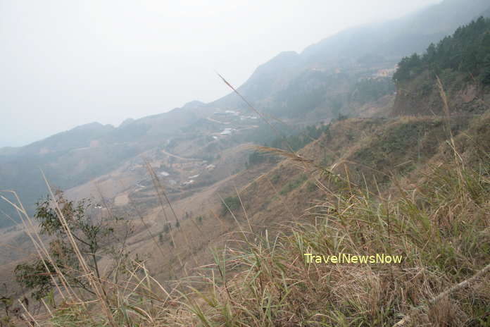
The first leg of the adventure is on a tiny footpath which goes through a forest for an hour. Then it comes to a mountain slope with broad views of the surrounding. The gradients are not steep. The vast pastures on the mountain slopes are very beautiful for most of the year, with exception during the winter time. It is also on the mountain slope you may get beautiful clouds filling up the valleys below which are often encountered in October – March.
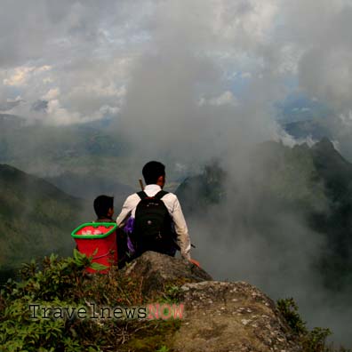
The second leg (also second half) of the adventure to the top is via dense forest with leeches should it be warm and humid time (late April – August). As you get close to the peak, it is a rhododendron forest which yields amazing flowers in late February – March. The path on the peak is just like a dinosaur backbone which looks scary and which often offers unreal and sublime natural landscape around with clouds all the valleys, only some mountain peaks emerging which look like islands amid an ocean. In the forest near the peak, the trees have gigantic roots which are covered in moss.
Lang Son weather and climate


