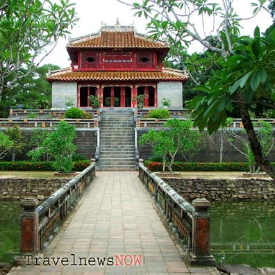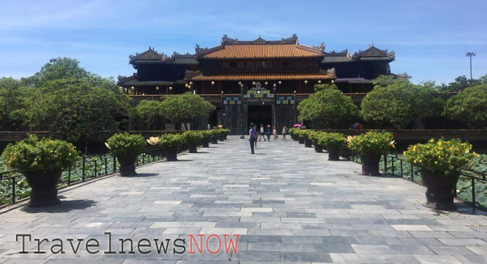
Hue was the capital city of Vietnam under the Nguyen Dynasty during the period from 1802 to 1945. Hue Citadel was where the Royal Court of the Nguyen Dynasty was seated and where the Royal Family lived.
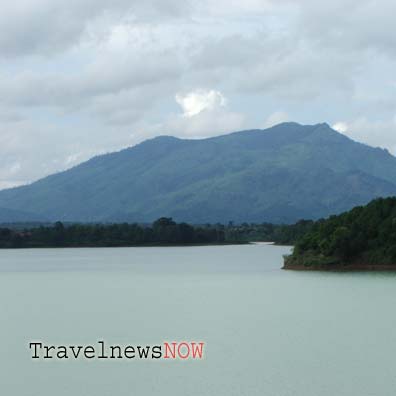
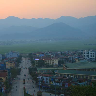
A Luoi is a district of Thua Thien Hue Province. The district is right on the Laotian border and on elevations of 600-700m above sea level. A Luoi enjoys pleasant temperatures and cool temperatures for most of the year.
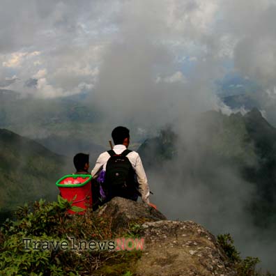
The Pavie Path was built by the French in 1927 connecting Lai Chau Province and Lao Cai Province. The path name was after a French Governor and explorer, Auguste Jean-Marie Pavie. The French built the path for transporting cardamom, other forest produce and minerals from Lai Chau to an air strip in Lao Cai (near Nhiu Co San Village) and for security patrol protecting the border region.
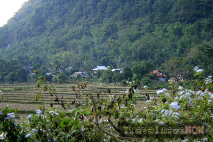
The the Xuan Lien Nature Reserve is in Thuong Xuan District, Thanh Hoa Province. The total area of the nature reserve is 21,000 hectares and the buffer zone is 40,260 hectares.
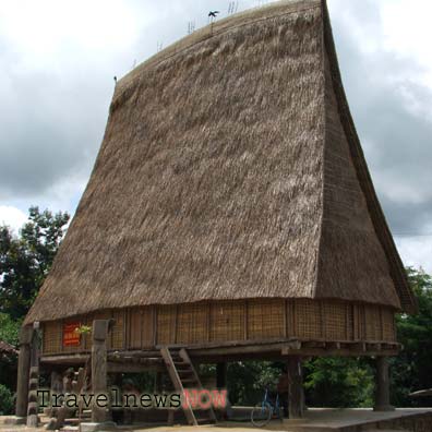
Kon Plong Nature Reserve is in Kon Plong District of Kon Tum Province, north of the Central Highlands of Vietnam.
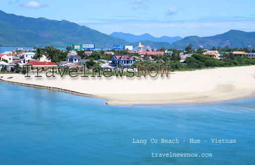
Tam Giang – Cau Hai Nature Reserve is a huge lagoon stretching northwest-southeast for 68km along the coastline in the districts of Phong Dien, Quang Dien, Phu Vang, Phu Loc and the town of Huong Tra. The width of the lagoon is from 1-10km.
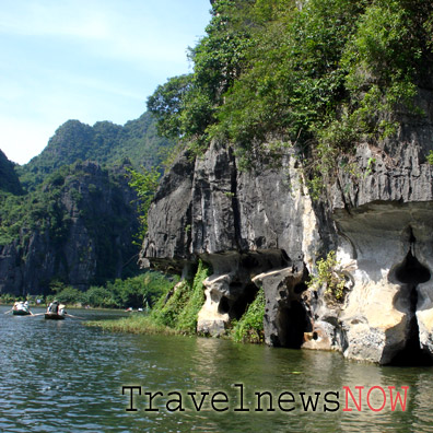
Trang An in Ninh Binh, in a broader sense as a UNESCO World Heritage Site, includes series of spots including Hoa Lu Ancient Capital, Tam Coc – Bich Dong, Thung Nang, Trang An Eco Tourist Zone… All these places are in Ninh Binh City, Tam Diep City, and Hoa Lu, Gia Vien, Nho Quan Districts.
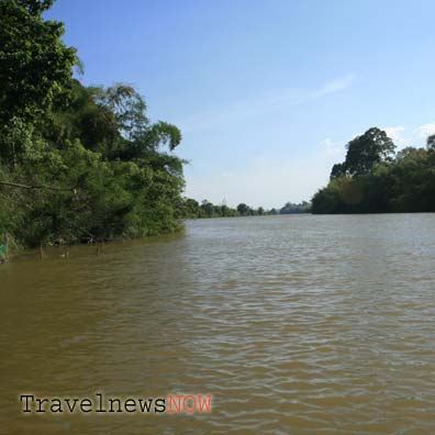
Mount Chua Chan is in Xuan Loc District, Dong Nai Province. The mountain is 837m above sea level and this is the summit of Dong Nai Province, second highest mountain in Southern Vietnam after the ba Den (Black Lady) Mountain in Tay Ninh.
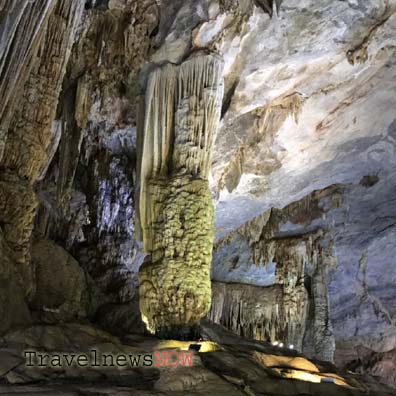
The Dong Chau - Khe Nuoc Trong Nature Reserve is in Kim Thuy Commune, Le Thuy District, Quang Binh Province. The nature reserve is 45km southeast of Dong Hoi City.
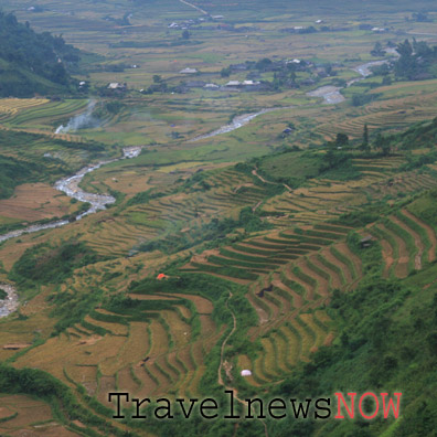
Mount Lung Cung is in Nam Co Commune, Mu Cang Chai District, Yen Bai Province. The mountain is right on the border between Yen Bai Province (to the south) and Lao Cai Province (to the north). The peak of Mount Lung Cung is 2913m above sea level and is among the highest mountain in Vietnam.
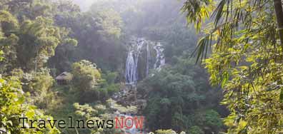
The Ba Khan Reservoir is part of the Da River and part of the Hoa Binh Reservoir which feeds water to the Hoa Binh Hydro Power Plant. Ba Khan is just like another Halong Bay amid mountains with lush green forests and woods by the riversides and idyllic ethnic villages.

