Tinh Lao Cai Holiday Weather today
Date/time of update: April 1, 2025, 12:59 am, Timezone: GMT+7
Overcast Clouds
Temperature: 8.61°C
Temperature feels like: 8.61°C
Minimum Temperature: 8.61°C
Maximum Temperature: 8.61°C
Atmospheric pressure: 1021hPa
Humidity:71%
Visibility: 10000m
Wind speed: 1.05m/sec
Wind Direction: 80 degrees
Cloudiness: 97%
Sunrise: 2025-03-31 10:56:45
Sunset: 2025-04-01 11:18:47
The Pavie Path was built by the French in 1927 connecting Lai Chau Province and Lao Cai Province. The path name was after a French Governor and explorer, Auguste Jean-Marie Pavie. The French built the path for transporting cardamom, other forest produce and minerals from Lai Chau to an air strip in Lao Cai (near Nhiu Co San Village) and for security patrol protecting the border region.
Travel Guide to Pavie Path between Lao Cai – Lai Chau
Overview
The path was paved with slabs of stones all the way for 70-80km. By time, this stone path was left to oblivion to the outside world. And most of the path has been destroyed. Only 14km is still in good shape which connects the Sang Ma Pho Village (Sin Sui Ho Commune, Phong Tho District, Lai Chau Province) and Nhiu Co San Village (Sang Ma Sao Commune, Bat Xat District, Lao Cai Province).
Local ethnic people still travel on the path to their farms or to the other province.
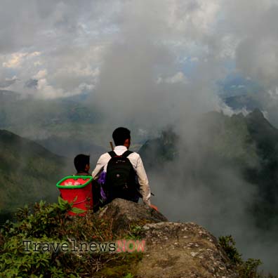
The Pavie Path travels through uninhabited area with high mountains and forest, the highest point is at the Windy Pass (2,000m). The path makes its way mostly amid mountain gorges and along streams. There is a great deal part of the path on flat terrains. There are some minor parts with slight gradients. It is quite mossy and slippery on some legs of the path which is worse in wet weather; it is advisable to exercise caution if you plan to travel on this historical route.
Itinerary
From Lai Chau City, the route travels northeast all the way to Nhiu Co San Village.
Day1
0830 A.M Start trek for 15km, flat or slight inclined.
1130 A.M Lunch
1230 Steeper gradients going up. No sunshade or big trees on the way.
15:00 Arrive at Sang Ma Pho Village.
1500- 1700 : Path goes up all the way.
1700: Campsite.
Day2
07:00 Breakfast.
08:00 Start trekking. Mossy path goes up through a forest with plantations of cardamom plants and plenty of sunshade.
The path starts going down when reaching the border between Lai Chau and Lao Cai Provinces. It gets more mossy and slippery.
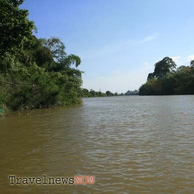
12:00 Lunch by a river.
13:00 Trek for 2km past an old airstrip built by the French to a vast and flat pasture. Travel 2km more to Nhiu Co San Village where the route is big enough that motorbikes can travel on.
It is 8km from Nhiu Co San Village to Den Thang People’s Committee on the provincial Route 158.
How to get to there
Lai Chau City – Sin Sui Ho: 30km (northeast), small road with steep gradients which cars can travel on;
Sin Sui Ho Tourist Zone – Sang Ma Pho Village (15km northeast, 200,00VND one way/person by motorbike), small path, motorbikes can travel on.
Lao Cai weather and climate


