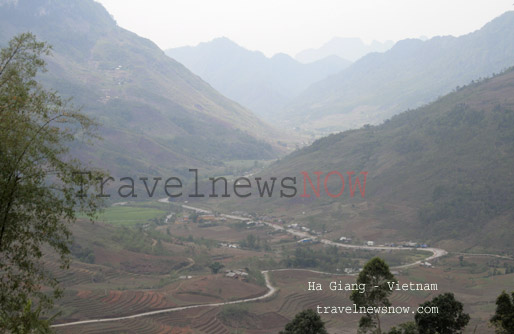
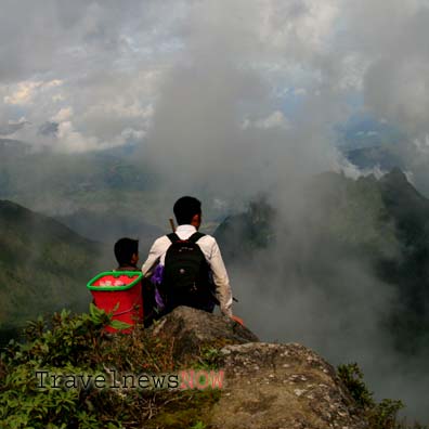
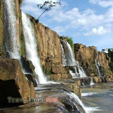
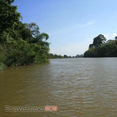
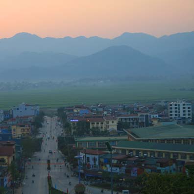
Lai Chau is tucked to the remote Northwest of Vietnam in between Dien Bien and Lao Cai. The province is known for wild towering mountains which offer the most physically and mentally challenging experiences like Ky Quan San (Bach Moc Luong Tu), Ngu Chi Son (The Five Fingers Mountain), Pu Ta Leng, Ta Lien Son.
As of writing travelers mostly zip through Lai Chau on their adventure through the Northwest of Vietnam, some would day-trip from Sapa to visit nearby tourist attractions. Lai Chau remains a hidden treasure for great travel experiences.
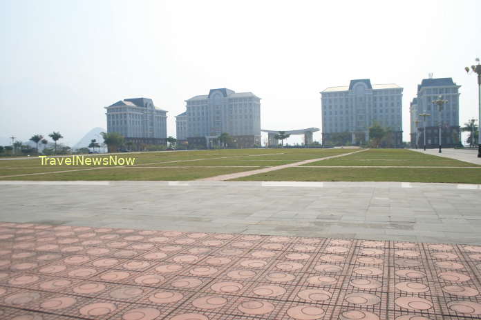
Lai Chau Travel Guide, Tourist Attractions and Places to Visit in Lai Chau
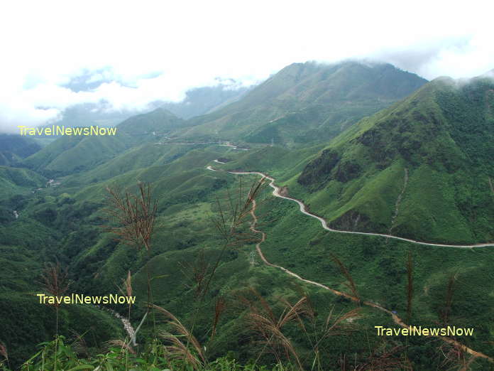
1/ O Quy Ho Pass
The breathtaking mountain pass between Sapa and Lai Chau that nearly all tourists to Sapa would come and visit.
2/ Sin Ho Plateau
With altitude of 1,500m above sea level, Sin Ho should be another Sapa or Da Lat next. The only difference is that it is still untouched mostly and far from mass tourism.
3/ Those of the Highest Mountain Peaks in Vietnam
3.1 Ky Quan San (Bach Moc Luong Tu, 3,046m):
The trekking adventure to the summit of the Ky Quan San Mountain takes 3 full days and 2 nights from the mountain base. If you travel from Hanoi then you have to allow for at least 2 extra days for getting there and going back.
Nowadays, the highest peak in Vietnam, which is Fansipan in Sapa, has got a cable car installed, the hiking trips at Fansipan is not much of fun as it used to. The trekking tour to the Ky Quan San Mountain is definitely the first choice for those who love pristine and sublime nature, daunting physical and mental challenges!
3.2 Pu Si Lung (3,083m)
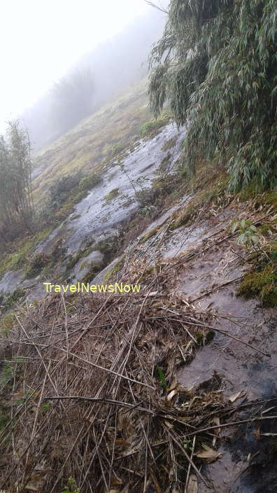
The Pu Si Lung Mountain is in Pa Ve Su Commune, Muong Te District, Lai Chau Province. This is the least visited of the highest mountain peaks in Vietnam which is because of its remote location, on the Chinese border. The trekking tour to the summit of Mount Pu Si Lung requires 3 days and 2 nights from the Mountain Base, or the Checkpoint of the Border Police of Pa Ve Su. The terrain involves mountains covered in reeds in the lower half and with rhododendron plants in the higher half. Travellers must bring their own tents.
3.3 Ta Lien Son (2,996m)
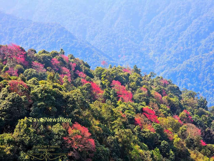
The Ta Lien Son Mountain is on the border between Bat Xat District (Lao Cai Province) and Ta Leng Commune of Tam Duong District (Lai Chau Province). The mountain is especially beautiful when the forest of maple trees turns yellow and red in fall (late September early November), or when the rhododendron forest on the higher mountain slopes yields blossoms.
Even without the colorful forest, the Ta Lien Son is famed for the mossy trees in the forest which makes it quite a different world. The trekking trip to the summit of Ta Lien Son takes 2 days and 1 night from the mountain base.
The base of the Ta Lien Son Mountain is either 10km from the Ta Leng Village (Ta Leng Commune, Tam Duong District, Lai Chau) or the Sin Suoi Ho Village (Phong Tho District, Lai Chau) which requires a motorbike ride on a mountainous path.
3.4 Pu Ta Leng (3,096)
The Pu Ta Leng Mountain requires 3 full days and 2 nights for a trekking tour to the summit and back to the mountain base.
3.5 Ngu Chi Son (2,858m)
The Ngu Chi Son or Five Finger Mountain is on the border between Tam Duong District (Lai Chau) and Sapa District (Lao Cai). The name comes from the five peaks of the mountain look like fingers of a hand. The base to start the hiking trip to the peak of Ngu Chi Son is from Suoi Thau 2 Village, 25km from Sapa.
There is a hut on 2,600m with capacity of 20-25 persons where mountaineers can stay overnight before the summit. There is no water source near the hut, drinking water must be brought along from a stream on a trek or from the mountain base.
The Ngu Chi Son Mountain is the most difficult peak to scale due to steepness of the cliffs and mountain slopes. Recently there are wooden ladders assisting mountain climbers to get to the peak on the last leg of the adventure. A trip to the summit of Ngu Chi Son requires 2 days and 1 night; some may want to stay 1 day longer to catch the full sunrise and sunset. The total distance we have to cover on this trip is 15km. It takes 5 hours to the summit and 3 hours to get back to the mountain base from the hut.
4/ Muong Te Nature Reserve
5/ Dao San Plateau
6/ Pu Sam Cap Caves, Tien Son Cave
7/ Tang Tinh Waterfall
8/ Ethnic Villages: Na Luong, Pu Dao, Hon, Vang Pheo, Si Chau Thai...
8.1 Si Chau Thai Village (Dao)
Si Chau Thai Village is is in Tam Duong District, 30km southeast of Lai Chau City. The village is in Ho Thau Commune, 5km northwest of Tam Duong Township. Si Chau Thai is home to the Dao Dau Bang (Flat Head Dao) People. Thanks to high altitude of 1,400m above sea level that Si Chau Thai enjoys a cool climate all year. The village is also the base for trekking tours to the summit of the sublime mountain of Pu Ta Leng (3,096m).
8.2 Sin Suoi Ho Village (Hmong)
The Sin Suoi Ho Village is in Sin Suoi Ho Commune, Phong Tho District, 30km from Lai Chau City. The village is home to the Hmong People. The village is perched on an altitude of 1,500m by the Ky Quan San Mountain (Bach Moc Luong Tu). There is a foot path that we could trek between Sin Suoi Ho (Lai Chau) and Sang Ma Sao (Bat Xat, Lao Cai).
8.3 Tham Village (Lu)
The Tham Village is home to the Lu People. The village is 10km from Tam Duong and 15km southeast of Lai Chau City.
8.4 Lao Chai Village (Hmong)
The village is in Tam Duong District, 20km southeast of Lai Chau City. The village is perched on the 2,000m altitude and is home to the Hmong.
8.5 Vang Pheo (White Thai)
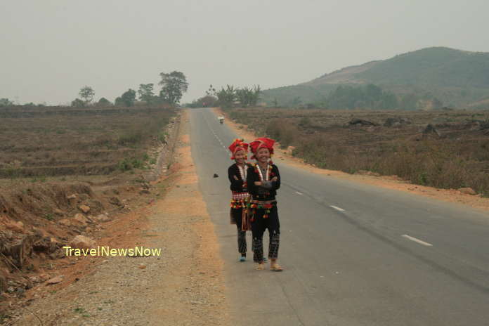
The Vang Pheo Village is in Phong Tho District, 25km from Lai Chau City. The village is at the confluence of the Nam Lun and Nam So Rivers and surrounded by mountains. The landscape around the village is just amazing, so are the local Thai ladies!
8.6 Phieng Tien Village (Lao)
The village which is in Ban Bo Commune, Tam Duong District, is home to the Lao People. The Nam Mu River makes its way around the village with several water wheels and with the mountains in the backdrop: a lovely scenery.
9/ Ethnic Markets: Sung Si Lo Lau, Tam Duong
Lai Chau Average Monthly Rainfalls and Temperatures


