Dien Bien Phu Holiday Weather today
Date/time of update: March 31, 2025, 4:10 am, Timezone: GMT+7
Broken Clouds
Temperature: 28.47°C
Temperature feels like: 28.17°C
Minimum Temperature: 28.47°C
Maximum Temperature: 28.47°C
Atmospheric pressure: 1014hPa
Humidity:41%
Visibility: 10000m
Wind speed: 1.51m/sec
Wind Direction: 92 degrees
Cloudiness: 56%
Sunrise: 2025-03-30 11:01:59
Sunset: 2025-03-31 11:22:02
Dien Bien Phu is the name of the capital city of Dien Bien Province in the far Northwest of Vietnam. Dien Bien Phu is the name of a decisive battle which led to the departure of the French colonialists from the land once called Indochina. In our guide, you can learn more about the Dien Bien Phu City with the famed historical attractions which bear the marks of the fierce battles back in time.
Travel Guide to Dien Bien Phu
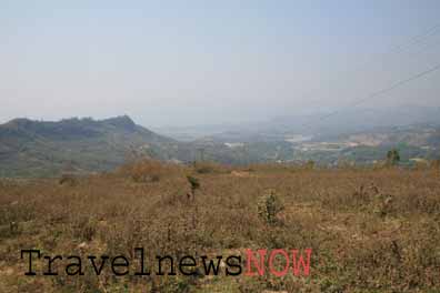
Dien Bien Phu City occupies most of the Muong Thanh Valley. There are mountains on all sides of the valley except for the southwest where it is flat land all the way to the Laotian border. To the north of Dien Bien Phu, there is Route 12 to Lai Chau. To the northwest of Dien Bien Phu, there is Route 279 to Son La. Route 279 also runs southwest to the Laotian border.
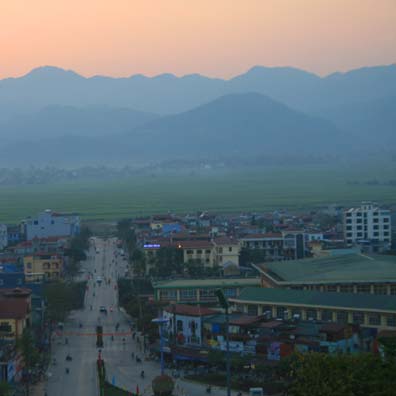
A view of the Dien Bien Phu Valley from above
The Northwest of Vietnam is mostly mountains and inhabited by various ethnic groups. To control the region efficiently, the French gave symbolic autonomy to different regions in the mountainous Northwest of Vietnam to different ethnic groups: Thai, Tay, Muong Hmong… Dien Bien Phu was inhabited mostly by the Black Thai back in time and the French used them in the fight against the Viet Minh.
Dien Bien Phu had a very strategic location which allowed those who control it the power to control important routes in the Northwest of Vietnam and to control the route to Laos. The French had important outposts in Son La and Lai Chau but not Dien Bien Phu before November 1953.
After successive military failures of the French troops in the mountains, the Northwest was to fall into Viet Minh’s hands totally. This would put a serious threat to the French in Vietnam as well as in Laos. When Henri Navarre took the Commander in Chief of the French Troops in Indochina in May 1953, his advisers made him realize the importance of Dien Bien Phu which seemed the only way to help to retain the French position in Indochina. And this led to the Dien Bien Phu Battle that startled the whole world back then.

The Muong Thanh Valley (Dien Bien Phu Valley)
When visiting Dien Bien Phu, it would be good if you follow the time-line of the battles as they took place back in time. This would help you tremendously in understanding how it all happened.
1/ Dien Bien Phu Museum
Check out the Dien Bien Phu Museum right in the city center to get the overall information of the Dien Bien Phu Battle. There are quite a lot of information as well as artifacts weapons of the famed battle.
2/ Him Lam Hill
Then go to the northeast following Route 279 to Him Lam Hill (Beatrice) which was to protect this side of the Dien Bien Phu Hedgehog and which was completely hammered by Viet Minh artillery on March 13, 1954. The most powerful force and best armed strong point in Dien Bien Phu was virtually annihilated. The presence of Viet Minh’s artillery made much of the French hope of a victory quickly evaporate.
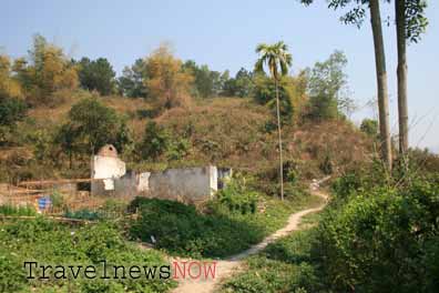
Him Lam Hill (Beatrice)
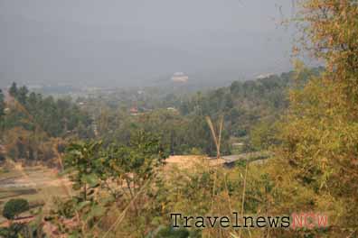
Him Lam Hill (Beatrice)
3/ Doc Lap Hill
From Him Lam, you’ll have to go via Route 279 back to the city center then turn into Route 12 heading north for the Doc Lap Hill (Gabrielle). This was another hill of the Northern Group of the French Hedgehog. The hill control the route to Lai Chau protecting the hedgehog and the airfield from the north. Doc Lap suffered the same fate with Him Lam after brutal battles in 14th and 15th of March, 1954. The French made several counter attacks trying to regain the control of Doc Lap but without success and with heavy casualties.
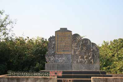
Doc Lap Hill (Gabrielle)
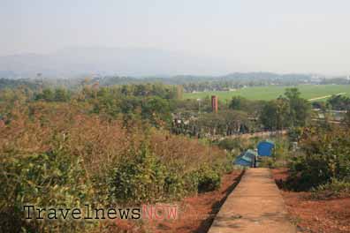
Doc Lap Hill (Gabrielle)
4/ Ban Keo Hill
From Doc Lap Hill you go south and turn right which brings you through some small communities to Ban Keo (Anne Marie). Ban Keo was also part of the Northern Group protecting the airfield and was held by Thai troops. The Viet Minh used propaganda to make the troops surrender and Anne Marie fell quickly without exchange of fire.
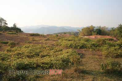
Ban Keo Knoll (Anne Marie)
5/ D1 Hill
Now you can travel south back to the center of Dien Bien Phu and visit D1 Hill (Dominique 2) which was the highest point of the Eastern Group of the Hedgehog. There is a memorial on this hill now and from here you can have a good glimpse of the whole Dien Bien Phu City. Lovely photographs can be taken from here at sunrise and sunset.
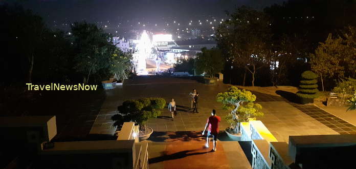
D1 fell to the Viet Minh after two hours fierce fighting on 30th of March, 1954. This was a part of the second series of Viet Minh’s attacks which aimed at the high points to the east of the Hedgehog. The first series of attacks was aimed at the Northern Group.
6/ C1 and C2 Hills
From D1 you travel south for a few hundred meters, then it comes to C1 (Eliane 1) and C2 (Eliane 4). The battles on these two hills were among the most brutal and the longest of the battles in Dien Bien Phu. The French made various attempts to regain the hills which were again overwhelmed by the Viet Minh. These two hills were also supported by fire from the Central Group near the Muong Thanh Bridge.
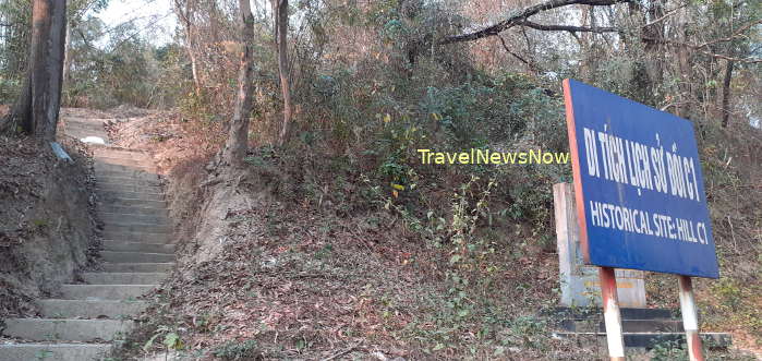
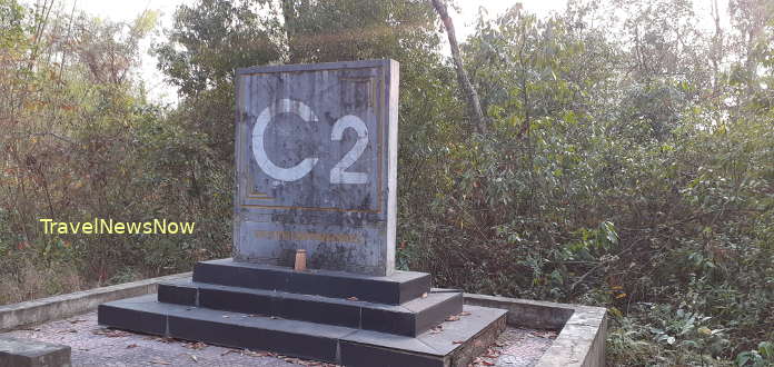
7/ A1 Hill
A short walk southward from C1 and C4 brings bring you to A1 Hill (Eliane 2) which was the hardest crunch of the Eastern Group. The hill was supported by fire power and men from the Central Group. There was a hidden trench between A1 and the Commander Post that allowed quick supplies of men and ammunition between the two points. A1 fell only when the Viet Minh exploded it with a 1-ton explosive buried underneath the French hidden tunnel on the hill. As A1 fell, there was no way the Commander Post of Dien Bien Phu could survive, hence the fall of Dien Bien Phu May 7, 1954.
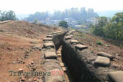
A1 Knoll (Elianne 2)
8/ Nam Rom River & the Muong Thanh Bridge
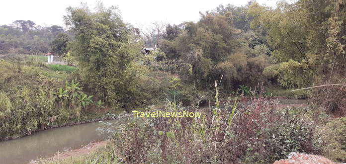
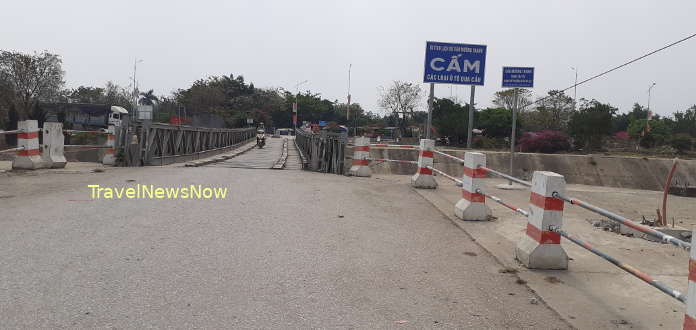
Now you travel south again to Dien Bien Market and head to the Nam Rom river. There is still a little memorial for Colonel Piroth who was in charge of the French artillery at Dien Bien Phu. He committed suicide after the fall of the Doc Lap Hill failing to launch successful counter-battery fire at Viet Minh’s artillery. Crossing the Muong Thanh Bridge (Bailey Bridge) takes you to the other side of the river with a machine gun which supported the high points to the east of the Hedgehog earlier.
9/ The Commander Post
The Commander Post is next to the Muong Thanh Bridge which is on flat ground to the south of the Muong Thanh Airfield. The French troops in Dien Bien Phu were directed from here during the battle. The commander in chief and his staff surrendered at 17:00 hours May 7, 1954.
10/ Hong Cum
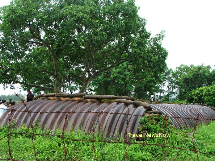
Cross the Muong Thanh Bridge again and travel south to Hong Cum (Isabelle) which protected the Hedgehog from the south and which guarantee withdrawal into Laos in case of failure. It didn’t work that way though.
From the beginning of the Dien Bien Phu Battle, Hong Cum was separated from the rest of the hedgehog by a system of trenches made by the Viet Minh. Several attempts by the French to destroy the trenches failed. Several attacks and counter-attacks by the French with some success but the minor victory didn’t save Hong Cum from being overwhelmed. They could not escape via the planned exit either. Hong Cum surrendered at 24:00 hours May 7, 1954.
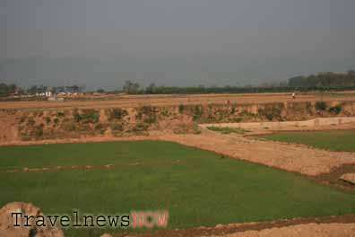
Hong Cum (Isabelle)
From the beginning of the Dien Bien Phu Battle, Hong Cum was separated from the rest of the hedgehog by a system of trenches made by the Viet Minh. Several attempts by the French to destroy the trenches failed. Several attacks and counter-attacks by the French with some success but the minor victory didn’t save Hong Cum fall being overwhelmed. They could not escape via the planned exit either. Hong Cum surrendered at 24:00 hours May 7, 1954.
Paradissa, a Vietnam luxury tour operator, specializes in arranging intellectual battlefield tours in Vietnam.
Dien Bien weather and climate


