Tinh Yen Bai Holiday Weather today
Date/time of update: April 3, 2025, 6:27 am, Timezone: GMT+7
Broken Clouds
Temperature: 28.23°C
Temperature feels like: 27.31°C
Minimum Temperature: 28.23°C
Maximum Temperature: 28.23°C
Atmospheric pressure: 1015hPa
Humidity:31%
Visibility: 10000m
Wind speed: 2.6m/sec
Wind Direction: 77 degrees
Cloudiness: 67%
Sunrise: 2025-04-02 10:52:35
Sunset: 2025-04-03 11:16:24
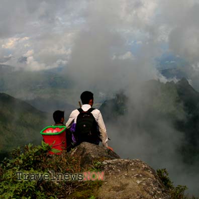
Mount Lung Cung is in Nam Co Commune, Mu Cang Chai District, Yen Bai Province. The mountain is right on the border between Yen Bai Province (to the south) and Lao Cai Province (to the north). The peak of Mount Lung Cung is 2913m above sea level and is among the highest mountain in Vietnam.
Table of Contents
Travel Guide to Mount Lung Cung, Mu Cang Chai, Yen Bai
Mount Lung Cung is known only recently to adventure travelers in Vietnam due to bad road conditions. The mountain offers scenic all the way from the main road (Route 32) to the mountain peak.
Trekking Routes to Mount Lung Cung
1/ Tu Le – Tu San Village, Nam Co Commune (20km) – Mount Lung Cung
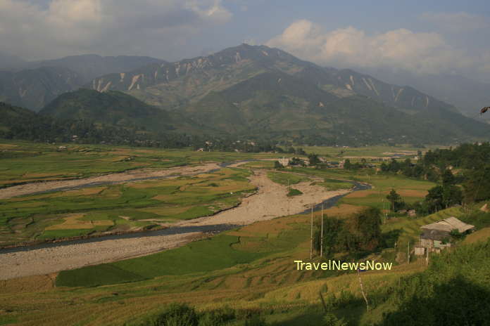
This route requires a trip by motorbike for 20km. It is next to impossible should it rain. The trade-off is great landscape with forest on the one side and rivers on the other. The trek from here is for 11km with diverse landscapes.
2/ Tu Le – Lung Cung Village, Nam Co Commune) (28km) – Mount Lung Cung
The motorbike route is 28km long and in bad conditions. The trekking route is hardest and longest of all.

3/ Mu Cang Chai Township - Che Cu Nha – Mount Lung Cung
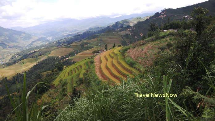
This route requires 15km on a steep and small road from Mu Cang Chai Township to Che Cu Nha Commune (Thao Chua Chai Village). If from La Pan Tan, then the distance is 20km. This route has lovely nice terraces should it be in season and the road conditions are not as bad as the one in Nam Co. It is possible to travel even in a rain. The trekking distance is slightly shorter and the steepness is slightly less than the other routes.
Yen Bai Average Monthly Rainfalls and Temperatures


