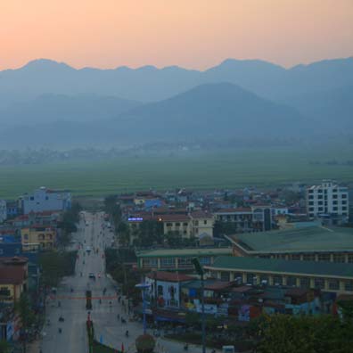
Tinh Ha Giang Holiday Weather today
Date/time of update: April 1, 2025, 12:59 am, Timezone: GMT+7
Overcast Clouds
Temperature: 17.18°C
Temperature feels like: 16.55°C
Minimum Temperature: 17.18°C
Maximum Temperature: 17.18°C
Atmospheric pressure: 1021hPa
Humidity:61%
Visibility: 10000m
Wind speed: 0.47m/sec
Wind Direction: 136 degrees
Cloudiness: 98%
Sunrise: 2025-03-31 10:52:35
Sunset: 2025-04-01 11:14:57
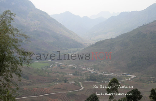
Mount Chieu Lau Thi is in Ho Thau Commune, Hoang Su Phi District, Ha Giang Province. The mountain belongs to the Tay Con Linh Mountain Range separating Hoang Su Phi (Ha Giang Province) and Bac Ha District (of Lao Cai Province). Mount Chieu Lau Thi is 2400m above sea level.
Travel Guide the Chieu Lau Thi Mountain in Ha Giang
Weather and Climate, Best Time to Visit
The Chieu Lau Thi Mountain can be visited all year round but there may by torrential rain in June, July, August and September. There are several days that you get beautiful weather during this period though.
The rain be may more devastating if there is a typhoon which hit northern Vietnam a few times during the period June-September. Try to avoid visiting the mountain during these dangerous times. As there may be flash flood all the way in Hoang Su Phi or rock slides in Hoang Su Phi or on the mountain.
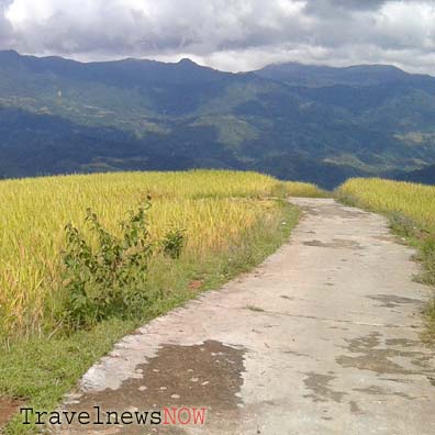
The best time to go trekking at Chieu Lau Thi is from late September through January during which it is mostly dry and the clouds are absolutely stunning! There may be snow or frost in December – January.
But you may also consider other times of the year which may offer opportunities for great photos:
- May – June: When rice terraces in Hoang Su Phi are flooded getting ready for another crop.
- Late August – September: When rice in Hoang Su Phi turns into yellow and golden colors.
Trekking Chieu Lau Thi
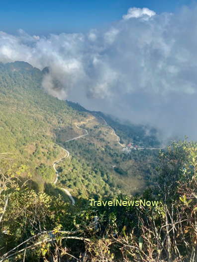
It is 9km from the mountain base to the summit area with extremely bad road. The paved road has not been finished yet and even after it is completed it is more likely that it turns bad after a rainy season anyway. Say, when it is in good conditions, you can hire a motorbike to the summit area; else, you are to trek through this road strewn with rocks. Going down should be the same as hiking up.
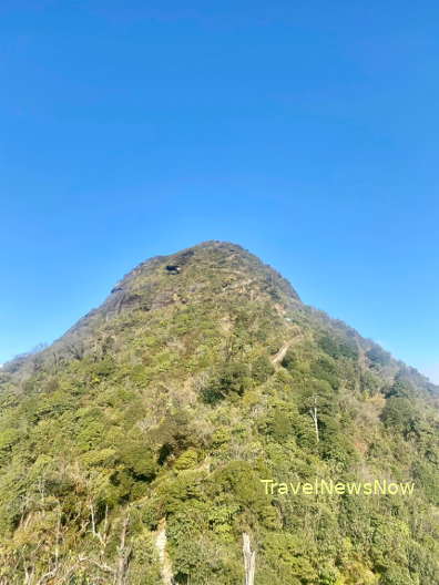
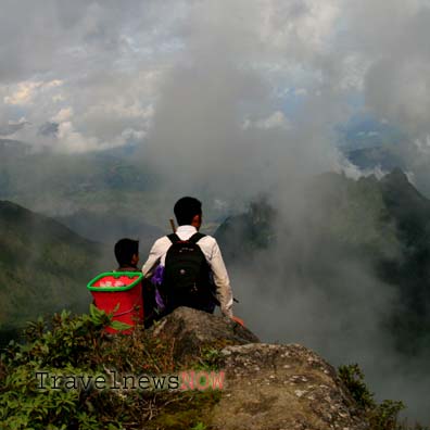
The summit area is not the peak of the mountain. To get to the peak, there is still 2km of steep steps that you have to hike. There are stone staircase which makes it slightly less difficult to get to the top.
Dangers
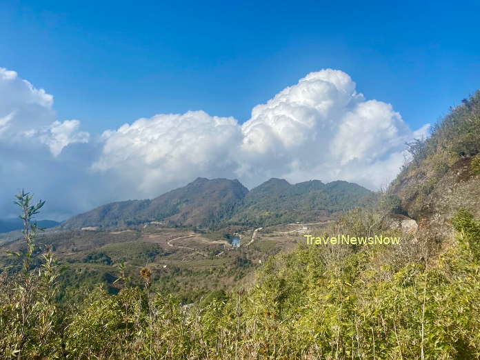
There are several awaiting dangers to visitors in Hoang Su Phi during the rainy season, especially during the time it is under impact of a typhoon. The dangers include: flash floods, rock slides, landslides. Landslides are common in Hoang Su Phi and rock slides are very common on Mount Chieu Lau Thi.
How to get there
The mountain is 120km southwest of Ha Giang City, 310km northwest of Hanoi via Route 2, 70km northwest of the Tan Quang Township (Bac Quang District, Ha Giang Province) via the provincial route 177.
From either Hanoi or Ha Giang you travel via Route 2 to the Tan Quang Township where you turn into the provincial Route 177 for the Chieu Lau Thi Mountain. Route 177 is in good conditions during the dry season and not so good during the rainy season.
Ha Giang weather and climate


