Phan Rang-Thap Cham Holiday Weather today
Date/time of update: February 14, 2026, 7:30 am, Timezone: GMT+7
Overcast Clouds
Temperature: 27.79°C
Temperature feels like: 28.39°C
Minimum Temperature: 27.79°C
Maximum Temperature: 27.79°C
Atmospheric pressure: 1009hPa
Humidity:52%
Visibility: 10000m
Wind speed: 6.57m/sec
Wind Direction: 48 degrees
Cloudiness: 100%
Sunrise: 2026-02-13 11:05:51
Sunset: 2026-02-14 10:50:54
Phan Rang Thap Cham has a tropical monsoon climate with two seasons per year: dry season from late February through July, rainy season from late August through January. From December through January, Phan Rang Thap Cham experiences cool temperatures (18-22oC) and from May to August Phan Rang Thap Cham has hot temperatures (28-40oC).
From October through November, sometimes December, Phan Rang Thap Cham may be affected by tropical depressions or typhoons; tt is more likely to rain in Phan Rang Thap Cham during these occasions.
Still, Phan Rang Thap Cham has the smallest rainfall in Vietnam with average rainfall of 700-800m per annum. The annual average rainfall of Vietnam is 1,500-2,000m. The reason is attributed to the terrain of Phan Rang Thap Cham with mountains encircling the province:
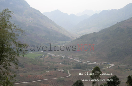
- The province is surrounded by high mountains: Nui Chua Mountain (1,040m) and Hon Ba Mountain (1,578m) to the Northeast and North;
- The Central Highlands (with series of highlands and high mountain peaks over 2,000m) to the west;
- The Kalon – Song Mao Nature Reserve (with peaks of 1,000-1,136m) to the southwest;
The winds can not bring moisture through those high mountains and hence little rain in Phan Rang Thap Cham. The temperatures in Phan Rang Thap Cham are always much higher than those in Khanh Hoa (adjacent to the north) and Binh Thuan (adjacent to the south) which are both have similar altitudes with Phan Rang Thap Cham, and of course much higher than those in the Central Highlands to the west with much higher altitudes.
The tricky point is that the coastline of Phan Rang Thap Cham runs northeast-southwest which is exactly the direction of the summer monsoon: the southwesterly monsoon. There is no chance for this wind to bring moisture into Phan Rang Thap Cham. In contrast, this moist wind after passing through the mountains coming into Phan Rang Thap Cham it makes the air hot and dry: the foehn effect – the summer is hot and dry. The northeasterly winter monsoon can not much have influence in Phan Rang Thap Cham as it is too far away.
January: sun, dry, 22-29oC.
February: sun, dry, 22-31oC.
March: sun, dry, 22-32oC.
April: sun, dry, 25-34oC
May: sun, occasional rains, 26-35oC
June: Sun mostly and warm, not too often thunderstorms, 28-38oC.
July
August
September
October
November
December
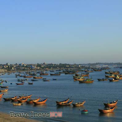
With little rainfall the sea water off the shore of Phan Rang Thap Cham is saltier than those in other regions in Vietnam. Besides, the coastline of Phan Rang Thap Cham runs northeast-southwest; when the southwesterly monsoon blows it makes the water on the surface with less salt and with higher temperatures (hence lighter) to flow further away from the coast. The cold water with more salt underneath (because of being heavier) to emerge the the surface…


