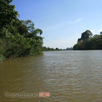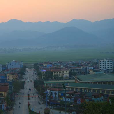
The Dau Pagoda was built in the 2nd century C.E and is the oldest Buddhist Pagoda in Vietnam. The pagoda was built when Luy Lau (Thuan Thanh, Bac Ninh) was the capital city of Giao Chi.
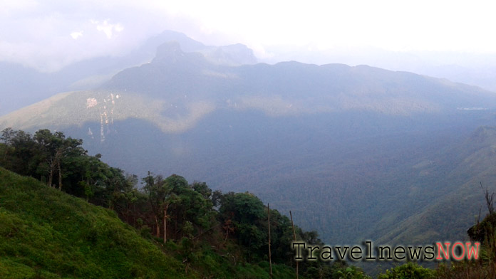
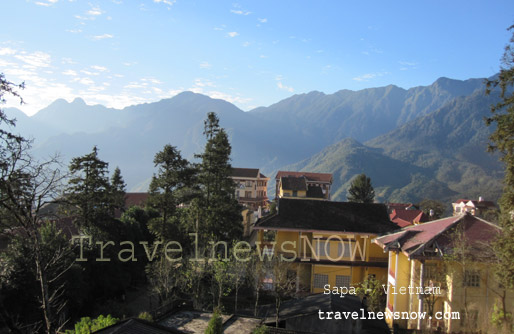
The Lao Than Mountain is situated in Y Ty Commune, Bat Xat District, Lao Cai Province. The mountain is 2,860m above sea level and is among the highest mountain peaks in Vietnam.
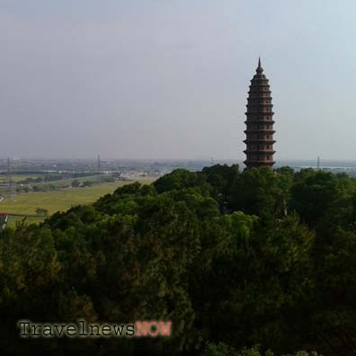
The 11th century pagoda is located on the Phat Tich mountain which offers panoramic views of the surrounding countryside: rice fields, mountains and the Duong River. The pagoda is in Phat Tich Commune, Tien Du District.
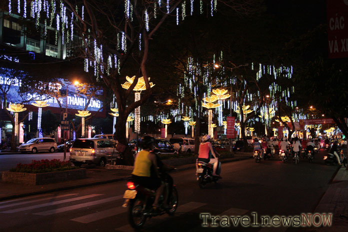
The Monkey Island is in Long Hoa Commune Can Gio District, 50km southeast of Ho Chi Minh City. The island covered in cajeput and melaleuca forest is part of Can Gio Forest, a UNESCO Global Biosphere Reserve.
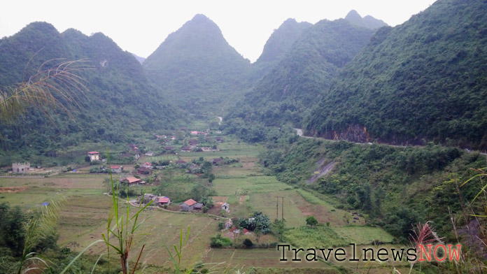
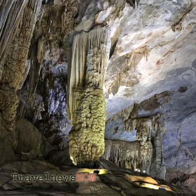
The Windy Cave (Cave of Winds, Hang Gio) is in Dong Mo Township, 60km south of Lang Son provincial capital city. The Windy Cave has two openings and both offer great views of the surrounding with several limestone mountains.
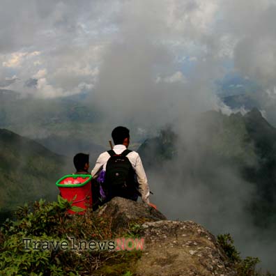
The Ky Quan San Mountain also known as Bach Moc Luong Tu Mountain straddles Bat Xat District of Lao Cai Province and Phong Tho District of Lai Chau Province. The mountain is 3,046m above sea level and is the second highest mountain peak in Vietnam.
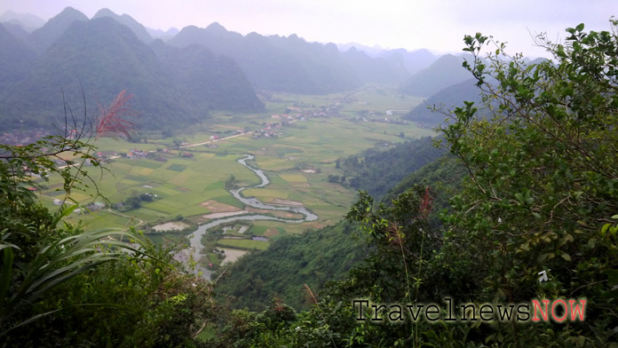
Lang Son Province is located to the northeast of Vietnam. The province shares a border with China to the north, the east and the northeast. The Mau Son Mountain is the highest mountain in the province located 40km east of Lang Son provincial capital city. There are several peaks in the Mau Son Mountain which are from 1,300m to over 1,500m above sea level.
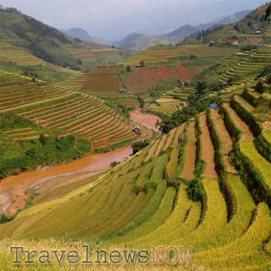
Mount Phu Song Sung also known as Ta Chi Nhu is located in Tram Tau District, Yen Bai Province. The name Phu Song Sung comes from local Thai language and the name Ta Chi Nhu comes from local Hmong language.

The Hon Cau Island belongs to the Con Dao Islands of Ba Ria – Vung Tau Province in southern Vietnam. The Hon Cau Island is located 8km to the east of the Con Son Island.
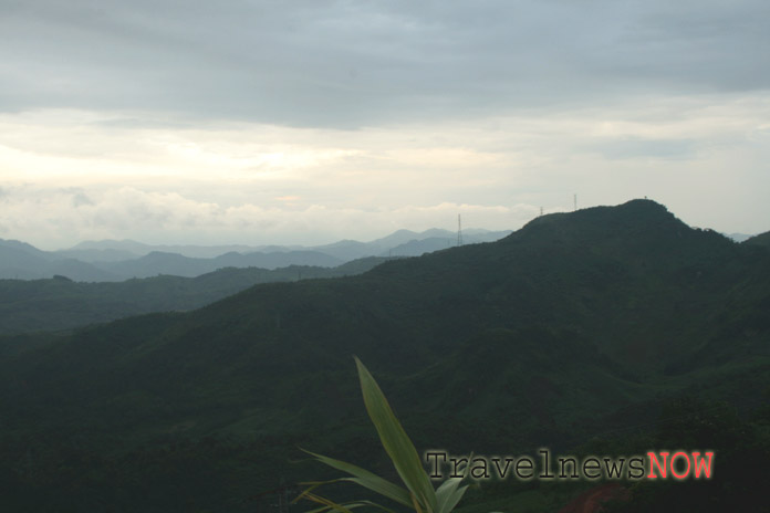
The Ngoc Linh Nature Reserve stretches in the Tu Mo Rong and Dak Glei Districts of Kon Tum Province, in the Central Highlands of Vietnam. The nature reserve covers an area of 37,500 (or 41,500??? - conflicting figures) hectares with over 98% covered in forest. The highest point in the nature reserve is the Ngoc Linh Peak which is 2,598m above sea level.
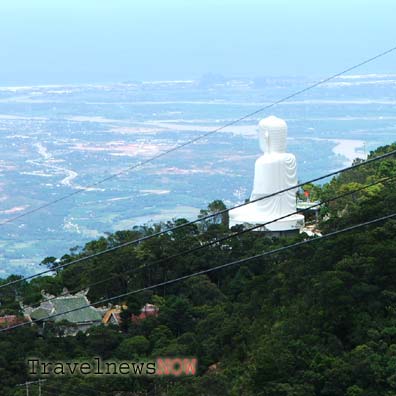
Ba Na Hills are several hills of the Truong Son Mountain Range, 25km west of Da Nang City in the Central Region of Vietnam. The Chua Mountain, the highest of the Ba Na Hills, is 1,489m above sea level.

